
Walk a Caledonia Street Record
No official source provides one complete list of everyone along a Caledonia road. Build the answer in stages. Parcel systems establish land and tax relationships. Recorded deeds document transactions. MyVote can return the public voter information permitted for one exact address, but it is not a whole-street browser. Old directories offer dated leads and may miss rural homes. A sound Caledonia street directory records what each source proves instead of turning every name into an occupant.
- Enter the exact address in USPS ZIP Lookup. Copy the standardized street, unit, postal city, and ZIP, but do not treat that result as proof of a person or municipal boundary.
- Search Racine County Ascent by street number and name. Limit the municipality when possible, compare the site address, and save the parcel ID.
- Open the county ArcGIS parcel layer. Confirm the road segment and parcel geometry, then note nearby parcel IDs separately.
- Use that parcel ID with the Racine County Register of Deeds. Search the recorded deed and work backward by grantor and grantee, the parties transferring land.
- For a voter question, check one exact address through MyVote. For an older household, ask the library about a dated Racine or farmers directory and retain the original township, road, or hamlet wording.
This sequence moves from delivery address to physical parcel, then to recorded documents and date-specific people sources. A break may reveal a renamed road, postal-city mismatch, rural legal description, or a year when directory coverage was absent.
Search Caledonia Parcels by Street
Ascent is the strongest first stop after USPS because it accepts address, parcel, municipality, and owner criteria. The portal also has inactive, deleted, private, bankruptcy, and state-assessed controls. Those filters matter when a result seems missing. The village Assessor offers a separate path to public values, dwelling traits, lot size, and sales. Racine County Real Property Listing maintains parcel number, owner, mailing address, legal-description summary, acreage over one acre, and district data.
| Ascent field | Street-search use | Limit to remember |
|---|---|---|
| Municipality | Limit results to Caledonia | Postal city may still read Racine or Franksville |
| Street Number / Street Name | Find one site or a named road | Suffix and old-road variants may matter |
| Parcel ID | Carry exact land into deed research | It does not identify every occupant |
| Mailing Address | Test an owner-contact address | It can differ from the site address |
| First Name / Last Name | Check a known owner name | Same-name hits require parcel confirmation |
| USPLS / Tags / Sort By | Narrow rural or large result sets | USPLS describes land, not delivery |
Captured result headings include Parcel, Owner(s), Site Address, Privacy Expiration Date, and Tax Years. Save the search date because parcel records change after transfers, splits, and assessment updates.
The Village of Caledonia Assessor page shows the official route into local property data.
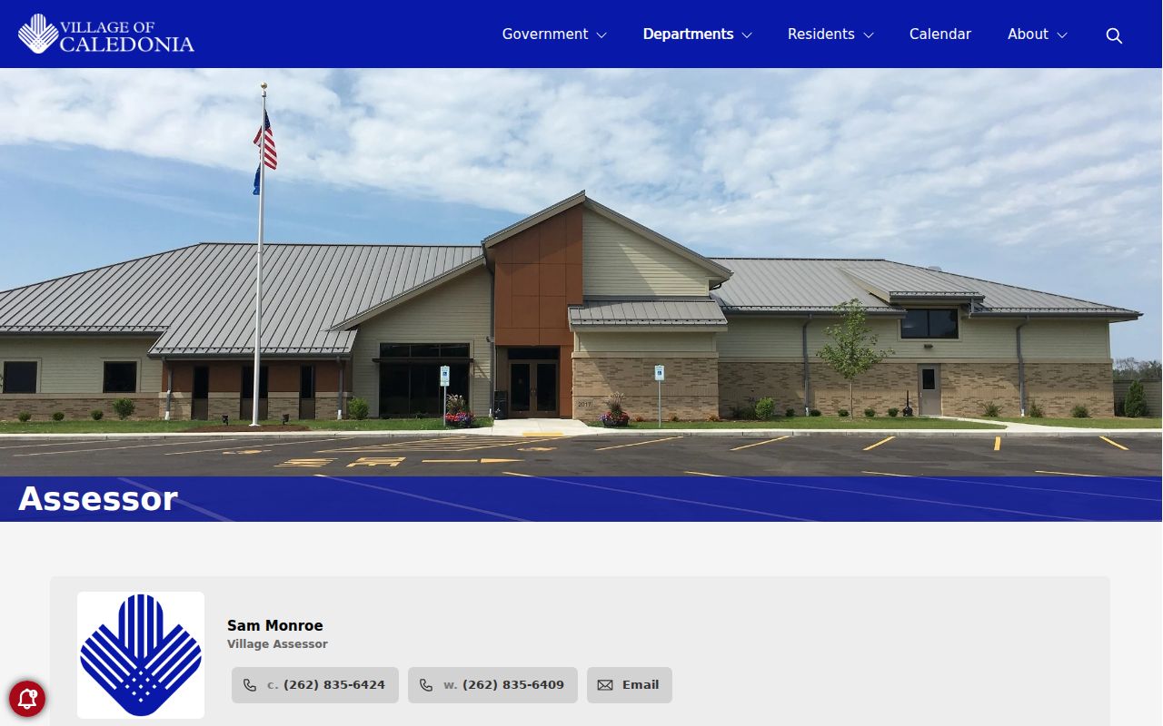
Use that village entry point to verify the current assessment source before relying on saved street-directory results.
Note: An assessed owner and a person who receives tax mail are not necessarily the people physically present at the site.
Caledonia Address Terms That Differ
Street research fails when unlike address fields are treated as the same thing. Caledonia records may hold a physical location, owner mailing destination, USPS delivery label, and land description in one file. They can disagree without any record being wrong. Older rural land may have no house number, so a lot, block, subdivision, plat, or USPLS description becomes the bridge.
- Parcel
- A mapped unit of land with a county identifier. It does not describe every person connected to the site.
- Situs address
- The physical or site address assigned to land, which may differ from the tax-mail destination.
- Plat
- A recorded map that lays out lots, roads, easements, or a subdivision.
- Criss-cross directory
- An address-first printed directory arranged by street. No Caledonia-specific run was verified.
A tax-bill legal description is abbreviated. When boundary or title detail matters, follow the Real Property Listing guidance and obtain the recorded deed or survey. That full document differs from the tax summary.
Map Caledonia Streets in GIS
The Racine County parcel layer connects each mapped shape to fields such as PARCELID, SITEADDRESS, and MapBookLinks. A live map can show a road segment and adjacent polygons. The service supports geometry filters, distance units, pagination, selected output fields, and common web data formats. Its maximum record count is 1,000, so a broad search should be narrowed by street text, municipality, parcel range, or map area.
The neutral research sample queried site addresses containing Chester and returned the Village Hall parcel plus nearby rows. It proves how the service exposes parcel IDs and site addresses. It does not identify an owner or occupant. Carry the parcel number into Ascent or the county record instead of drawing a people conclusion from the map.
The Racine County parcel query shows the field and output controls for address work.
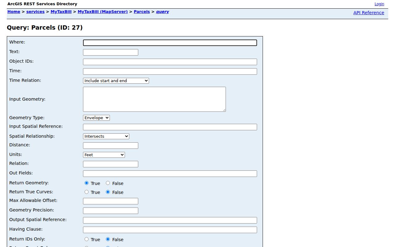
The interface works best to isolate land and road geography before names are checked in the proper county source.
Caledonia Records Indexed by Address
Each address-keyed source supports a different claim. This street-by-street coverage table keeps that proof boundary visible. It also shows the fallback when an online portal is incomplete or an older record is not indexed.
| Address source | Custodian | What it supports | Access channels |
|---|---|---|---|
| Assessment and tax parcel | Village Assessor; Racine County Real Property Listing | Parcel, site, owner, mailing, values, sales | Village search, Ascent, county phone or counter |
| Parcel map | Racine County GIS | Parcel shape, road, site address, map link | GIS, Mapbook, ArcGIS query |
| Deeds, surveys, plats | Racine County Register of Deeds | Recorded parties, transfer, full legal document | LandShark/TriMin, public computer, mail or email |
| Permits and land use | Village Building, Planning, Engineering | Dated work, plans, plats, approvals | Department page, state permit route, village request |
| Voter information | Wisconsin elections system | Permitted registration facts for one address | MyVote or separate WEC voter-file request |
| Historical directories | Racine Public Library and UW-Parkside | Dated name, road, business, household lead | Reference shelf, appointment, archive inventory |
Register of Deeds public computers are first-come, first-served during the published search window, and staff do not conduct searches. LandShark supports document and tract-index work. Older material is indexed differently. A requester can also provide a parcel ID, address, document type, and date range through county contact channels.
Carry Caledonia Parcels into Deeds
The parcel ID is the cleanest handoff from a street directory to recorded land records. Find the latest deed for the selected parcel, record its date and parties, then use the grantor, the party transferring an interest, as the next name in a backward search. Keep each parcel in its own row. One road can cross subdivisions, legal descriptions, districts, and postal labels.
LandShark guidance says modern images and tract indexing cover 1989 to the present, while older records use different indexes. The county also says documents back to the early 1900s are online. Index work may be free, while images and staff searches can cost money. Consult the current Register of Deeds FAQ before ordering. Researched examples were $2 for the first image page and $1 for each added page when recording information is known, with other search or convenience fees in some routes.
Note: A deed names parties to a land transaction; it does not list every person who used or stayed at the address.
Old Names in Caledonia Streets
Modern address search can miss a historical Caledonia record. Village history names Tabor, Linwood, Ives Station, Sterns Crossing, Skunk Grove, Husher, Thompsonville, and North Racine. These labels may appear where a modern index expects a street and municipality. North Racine is now part of the City of Racine, so it must not be silently converted to present-day Caledonia.
Tabor offers a strong geographic trail. Official history ties the Bohemian settlement to Douglas Avenue and Tabor Road. Ives Station links railroad and stone-crushing terms to that area. The old Town Hall links Five Mile Road, Highway 38, and Linwood Park. Preserve each term as printed, add the record date, and test the place with a dated plat, deed, newspaper, or parcel map.
The Village of Caledonia history supplies these settlement clues. For the regional shelf, use the Caledonia city directory collections with a clear warning that Racine coverage does not guarantee a rural Caledonia entry.
Caledonia Permits Add Street Dates
A permit can date construction, alteration, grading, drainage, sanitation, erosion control, or a subdivision step. The Village Building and Inspection office handles local submittals, while Wisconsin's online system begins the new-home permit process. Planning records include site plans, subdivisions, condominium plats, zoning matters, and land-use approvals. Engineering handles public works, development, traffic, wetlands, floodplains, and project records.
Those files may name an applicant, owner, builder, agent, or firm. Label the role exactly. They can show when a road segment or parcel changed, but cannot identify every resident. Planning moved from Racine County to the village in May 2019, so an older request should name its date range and ask whether the county was the predecessor custodian.
If no permit archive is searchable online, submit a detailed request to the proper department. Include site address, parcel ID if known, record type, and dates. The general village form supports email, pickup, and mail delivery.
Caledonia Streets Beyond Postal Labels
Caledonia spans delivery labels associated with Caledonia, Franksville, Racine, Wind Point, Mount Pleasant, and Elmwood Park. The village's 2025 resolution says six ZIP codes affect village territory, but that policy record does not prove USPS completed a boundary change. A Racine postal city does not automatically place a parcel in the City of Racine.
Use USPS to standardize delivery information, then compare it with the municipality and parcel geometry in county sources. Ascent has street and mailing-address fields but no captured dedicated ZIP field. ArcGIS exposes site addresses without a ZIP in the researched schema. When the village boundary matters, parcel and municipal fields carry more weight than postal city alone.
Limits of Caledonia Street Records
A Caledonia street directory cannot prove a complete household. The assessor and deeds focus on land and transactions. GIS shows mapped geography. USPS confirms delivery form, not a person. MyVote omits protected fields and works from one name or address, not a public whole-street roster. A historical directory is only a dated, privately published snapshot, and no Caledonia-specific reverse run was verified.
Wisconsin Safe at Home provides substitute addresses and mail forwarding for qualifying people at risk. Confidential voter handling and court redaction protect other information. Stop when a public source withholds an address. Do not infer it from adjacent parcels, maps, filings, or old records.
Lawful use. Use Caledonia address records only for lawful personal research, civic questions, family history, or property inquiry. Never use them to stalk, harass, intimidate, or harm a person.
When a result is uncertain, preserve it as an unresolved lead. Record the source date, original address wording, modern jurisdiction, record type, and the question that remains. That is more accurate than forcing a current-resident label onto an address record.